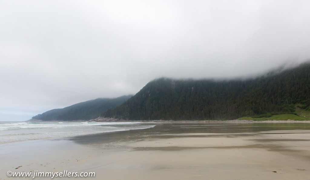
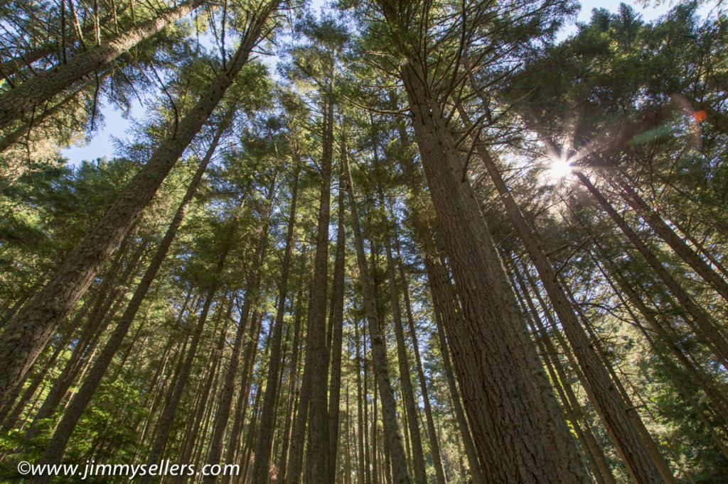
Went for a hike to sea lion cove. We anchored and took a skiff to shore. There was a maintained trail by Alaskan DNR. It was about 6 miles round trip. The destination was the other side of the island, which was the Pacific Ocean. As soon as we starting walking across the island we saw a brown bear just across the way in a small meadow. He didn’t see or care about us. The walk was beautiful through the rain forest. It was a well-maintained trail by humans, which was obvious. There were a lot of man-hours put in to making the plank walks, bridges, and stairs. Once at the Pacific Ocean it felt like the edge of the world. The next thing from where we were was Japan. Quite an enjoyable day and hike. A little strenuous at times, but well worth the payoff to see the Pacific Ocean. Some pictures HERE of bear, eagle, the Sweet Family Reunion, and scenery if you are interested.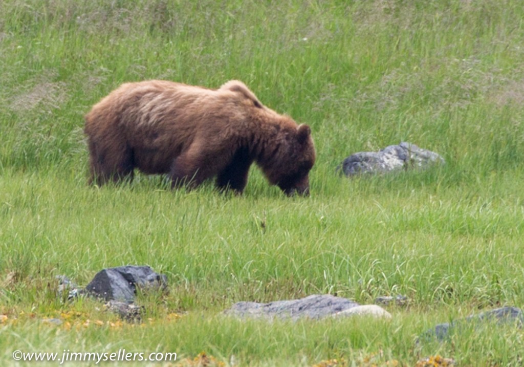
Tag Archives: Vacation
Day 1 living on a boat in Alaska
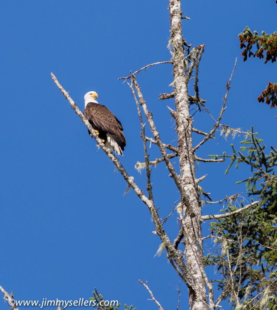
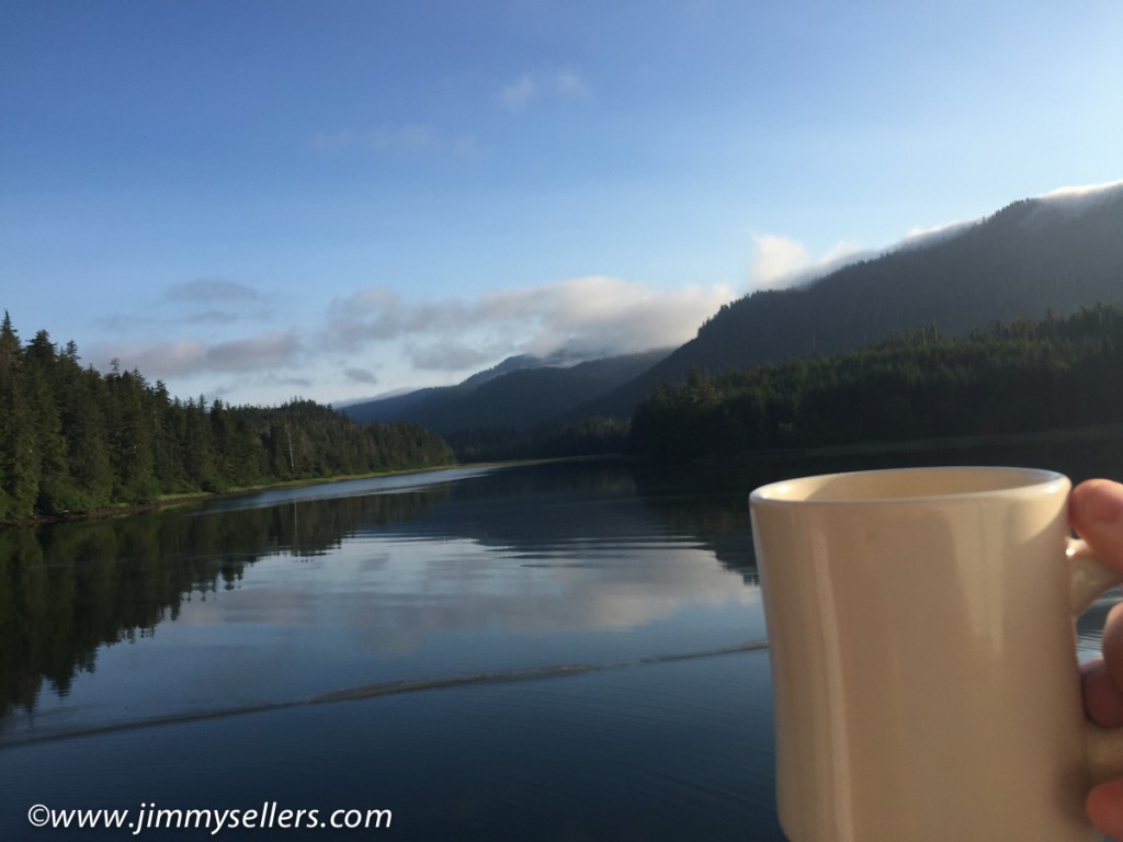
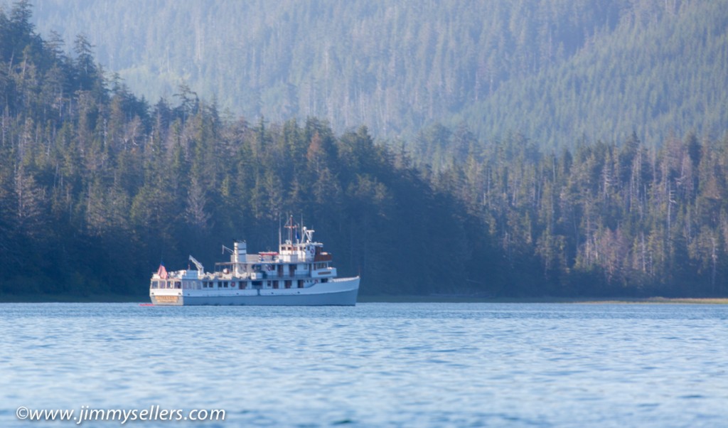
Finally after all the shake ups and changes we got on a boat named The Liseron. We gathered at the hotel and met up with the other passengers, there are 20 of us total. Most of the boat is sold to 1 family and there are 3 other couples. So my first introduction to these people is a conversation with a guy in a Trey tee shirt talking to his uncle about the Dead 50 shows that were happening at the time. I threw myself right into their conversation. I knew there was never going to be a better way to break the ice. What a perfectly kick ass start to having to meet strangers that I live with for a week. The boat is small, in comparison. The staff are all pleasant and this seems to be a fantastic alternative to our original choice of boat. We sail for a couple hours and then anchor to go kayaking or out on a skiff for sight seeing and visual animal hunting. I was surprised when Wifey chose the skiff. Whatever she wants. We saw some deer, a bunch of Eagles, and lots of other birds. The scenery is indescribable. If there was such a thing as heaven, it should be designed to look like this. After the boat tour it was time for our first sit down meal with the Sweet Family Reunion. 20 of us at a big oval table. The meal was top notch, king salmon, baked broccoli, and a rhubarb crumble for desert. After that it was sleepy time. Waking in the morning to a spectacular sunrise, coffee with a view, and awaiting threat of the world to come alive. Some pictures HERE.
Snowboard geocaching, nothing better!
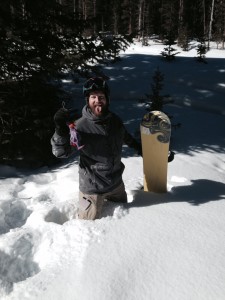
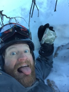
Combine my 2 favorite activities, and the luckiest boy in the world ends up having more fun than shooting at a barrel of monkeys. There are a few geocaches on Telluride Mountain that are meant for non-winter months. I found that to be a challenge and I accepted. At one point I waded through neck deep snow and created an actual igloo for myself searching for a dumb piece of Tupperware in the woods. I could not have had more fun. Trips over, time to go home now.
Unusual view of Telluride Ski slopes
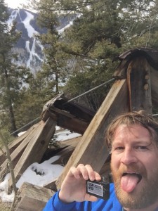 I usually do not see ski slopes from this view. But once again, thanks to Geocaching, I found myself in an unusual place, with an amazing view. 600 vertical feet in ¼ mile is a tough climb!
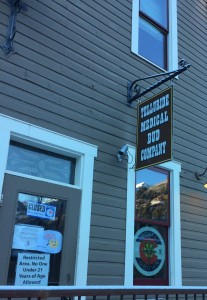
I also saw this amazing store while wandering around town. Where were these places when I was younger! Dammit!
Memories of another life
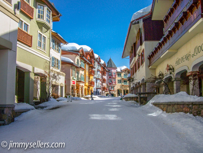
It feels like 100 years ago, but was actually only 2 1/2 years ago. The Winter Carnival took over my life. I was organizing some photo albums and saw this quaint reminder of what an amazing life I am lucky enough to have. Maybe I will get back here one day, Sun Peaks in British Columbia. This looks like the kind of place you want to take a bite out of.
Yosemite 2014 – Getting lost in the woods – Glen Aulin & Pacific Crest Trail
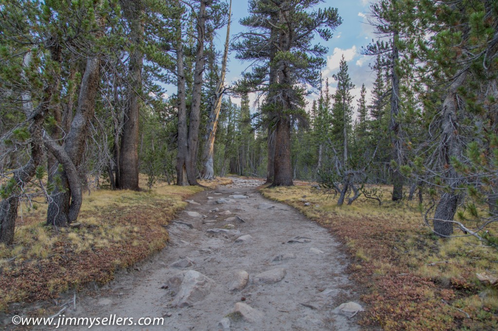
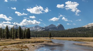 The final hike of the trip was a doozie. It had everything you might want in an adventure. Action, suspense, drama, cowboys, people getting lost, and waterfalls. The journey for the final day was mostly a circle starting from our tents, heading to the high country camp Glen Aulin, and then back down to civilization and Tioga Road. We started early and picked up the Pacific Crest Trail not far from our campsite. The PCT is the west coast equivalent of the Appalachian Trail on the east coast. It is a footpath through the wilderness that runs from Mexico to Canada. It has been my life long dream to set foot on the PCT since I first heard about it 2 months ago. Imagine how excited Josh and I were when we saw Pacific Crest Trail on the Yosemite map of the high country. It didn’t matter where that trail was, once we saw it, we were going to walk on it. The walk up to Glen Aulin was beautiful, mostly along a river with sporadic waterfalls. The only downfall was the time when Josh and Matt lost me. We were all together one minute, and then separated for the next hour or two. I was never worried, I had a GPS machine, and they had the power of numbers, although one of those numbers was Josh. I realized there was a problem when I ran into a cowboy, yes a real life cowboy, riding a horse, wearing chaps and a duster, carrying a gun, and leading a large line of donkeys. I asked the cowboy if he saw 2 other hikers the way he came from. He said no, I said no problem I’d meet them at Glen Aulin. He told me Glen Aulin was behind me. I wanted to argue because I’m so smart, but he was a cowboy with a gun. I turned around and starting running in the other direction hoping to catch the other guys as quickly as possible. Running might be overstating the forward movements I was making, but I tried. I went about 2 miles out of the way, which does not sound like a lot of distance, but it is a lot at that elevation, incline, and running as fast as possible. I finally met them just as they were getting to Glen Aulin. They were planning to wait for me there if the need arose. I think I pissed one or both of them off, I apologized and explained what happened. It was an honest mistake, even a sweet boy like me, with my own GPS machine could get turned around and go the wrong way in the woods.
From Glen Aulin it was mostly down hill and back to Tioga Road. This was not a full loop, we got picked up by Dan and Drew at a parking area near the trailhead. I really wanted to hitchhike back the 10+ miles, but nobody else was into that idea. I hang out with unadventurous bums. The last of Yosemite 2014 pictures can be found HERE. Also a “Best Of” pictures page is HERE. Thanks for reading.
Yosemite 2014 – Camp change & Olmsted Point
After a few nights sleeping outside in the Yosemite Valley, it was time to move camp to the high country. We packed up camp and started driving to Tuolumne Meadows. As the crow flies it is only about 20 miles, probably less. But it takes 3-4 hours to drive there. The elevation climb is several thousand feet and the drive is across the beautiful ridge of Tioga Road. We came up to the high country of Yosemite last year, but only for a day trip. This year we were going to sleep outside, under the stars for a few nights, and wake up in the most beautiful part of the park. As Bob Hrabek the park ranger said to us as we entered, “Welcome to Paradise”. He wasn’t kidding. Ranger Bob then proceeded to hook us up 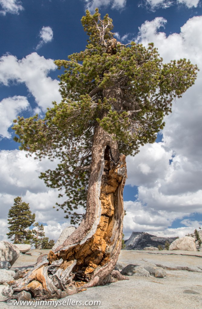 with what must have been the best campsite on the grounds. We were nestled in the trees and backed right up to the trail that lead to everywhere you could possibly want to wander. A giant change from down in the valley. The climate changed too, once the sun was gone it was freezing. Perfect for sleeping outside.
On the drive up to our new home we stopped at Olmsted Point. Another place we stopped last year, but completely different this time. The weather and skies were very cooperative for photography. The skies were deep blue with cotton ball clouds. I was able to capture a picture of a tree I loved last year, but couldn’t do much with it on camera because of a dull sky. We marched out to the Point for another view of Half Dome, and then continued to our new home in Tuolumne Meadows. Once there we set up camp and went for a hike straight from our tents to Lake Elizabeth. It was an elevation change of over 1000 feet, maxing around 9500 feet. Elizabeth Lake is were the most amazing photo experiences happened, while we were there everything changed to make for the perfect conditions. I hope I was able to capture something. I will find time to get to those photos next. For now I was able to get through a few more photos, Olmsted Point and our hike toward Elizabeth Lake. Those pictures are HERE.
Yosemite September 2014 – Days 1 and 2
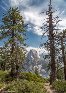 I finally had some time to look through pictures from Yosemite last month, September 2014. I have only made it through the first day and a half of pictures. I know the best are near the end of the trip, but I have to go through them in order. That is part of my CDO disorder.
We hiked the Panorama Trail on our second day in Yosemite. The group of 5 went together. The first day Josh and I set out on our own to circumnavigate would is called Mirror Lake or Mirror Meadow. It was a lake when I was here last year, and a meadow this year. Amazing what this planet does.
Pictures are HERE in case you are interested or overly bored. 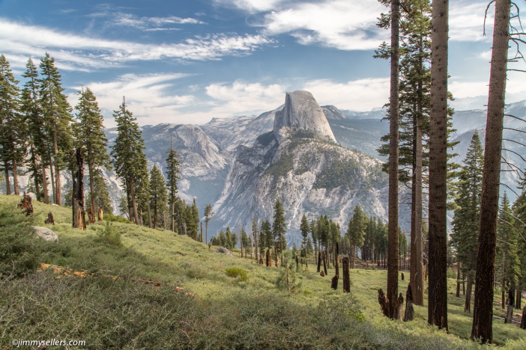
Learning to photograph waterfalls, contain your excitement please
Learning to photograph waterfalls is something I became obsessed with recently. The opportunity does not arise very often to shoot waterfalls, considering where I live. But I did a lot of reading, and finally had the opportunity earlier this month while on Orcas Island Washington. I am pretty happy with my first attempt after jamming my brain with knowledge. HERE are a few pictures. http://www.jimmysellers.com/pictures/index.php?/category/25 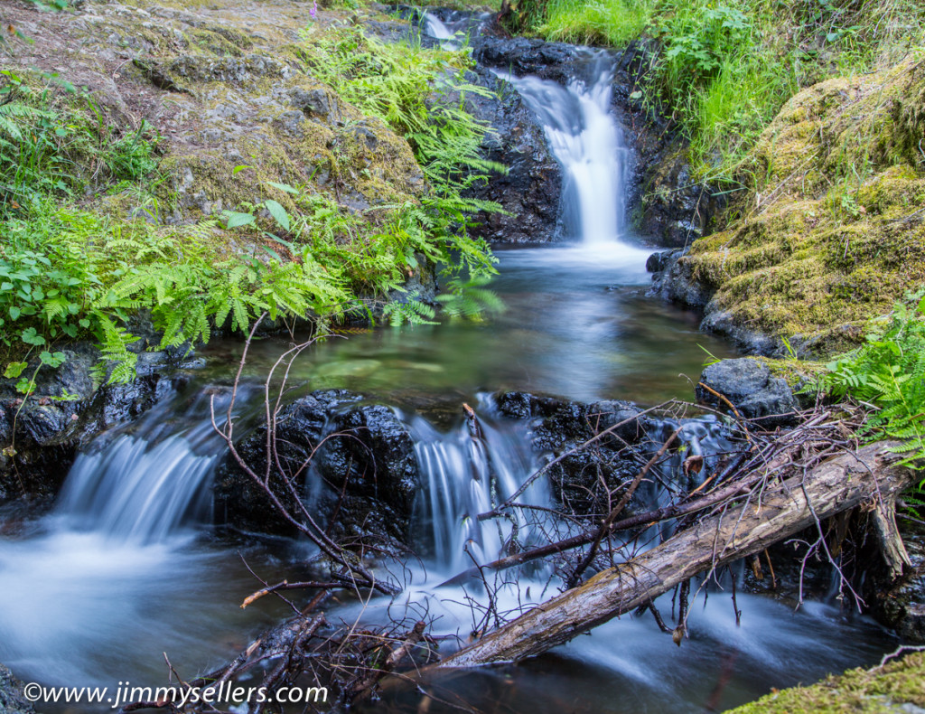
Washington State & Orcas Island July 2014 pictures
HERE are some of the better pictures from Wifey and my trip to Washington State and the Orcas Island earlier this month. www.jimmysellers.com/pictures/thumbnails.php?album=102
