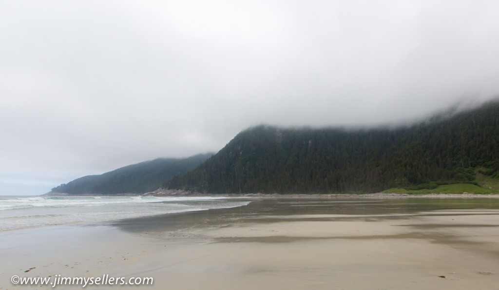
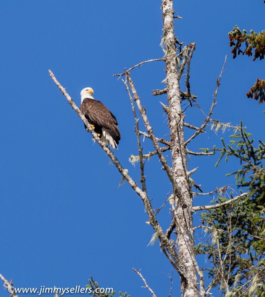
Went for a hike to sea lion cove. We anchored and took a skiff to shore. There was a maintained trail by Alaskan DNR. It was about 6 miles round trip. The destination was the other side of the island, which was the Pacific Ocean. As soon as we starting walking across the island we saw a brown bear just across the way in a small meadow. He didn’t see or care about us. The walk was beautiful through the rain forest. It was a well-maintained trail by humans, which was obvious. There were a lot of man-hours put in to making the plank walks, bridges, and stairs. Once at the Pacific Ocean it felt like the edge of the world. The next thing from where we were was Japan. Quite an enjoyable day and hike. A little strenuous at times, but well worth the payoff to see the Pacific Ocean. Some pictures HERE of bear, eagle, the Sweet Family Reunion, and scenery if you are interested.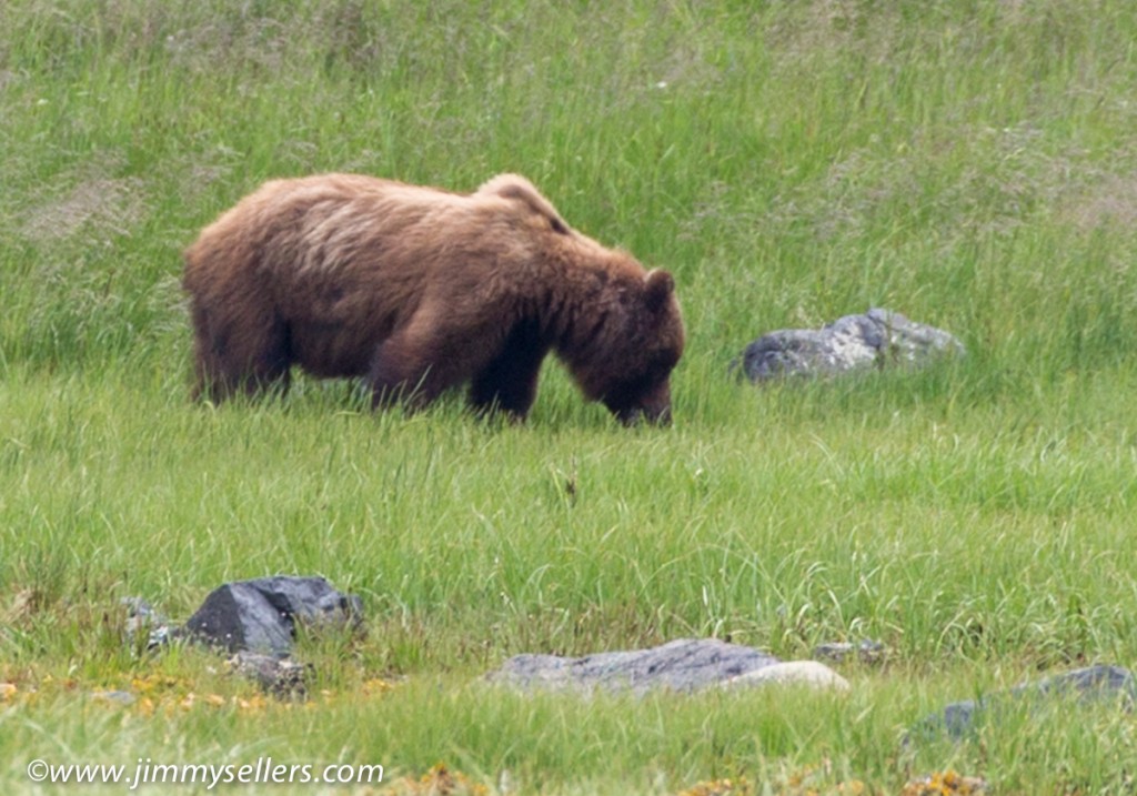
Tag Archives: Photography
Day 1 living on a boat in Alaska
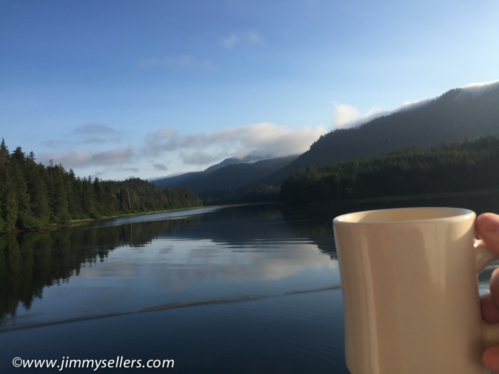
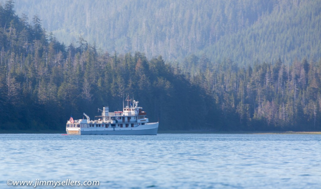
Finally after all the shake ups and changes we got on a boat named The Liseron. We gathered at the hotel and met up with the other passengers, there are 20 of us total. Most of the boat is sold to 1 family and there are 3 other couples. So my first introduction to these people is a conversation with a guy in a Trey tee shirt talking to his uncle about the Dead 50 shows that were happening at the time. I threw myself right into their conversation. I knew there was never going to be a better way to break the ice. What a perfectly kick ass start to having to meet strangers that I live with for a week. The boat is small, in comparison. The staff are all pleasant and this seems to be a fantastic alternative to our original choice of boat. We sail for a couple hours and then anchor to go kayaking or out on a skiff for sight seeing and visual animal hunting. I was surprised when Wifey chose the skiff. Whatever she wants. We saw some deer, a bunch of Eagles, and lots of other birds. The scenery is indescribable. If there was such a thing as heaven, it should be designed to look like this. After the boat tour it was time for our first sit down meal with the Sweet Family Reunion. 20 of us at a big oval table. The meal was top notch, king salmon, baked broccoli, and a rhubarb crumble for desert. After that it was sleepy time. Waking in the morning to a spectacular sunrise, coffee with a view, and awaiting threat of the world to come alive. Some pictures HERE.
Some days it is hard to be me
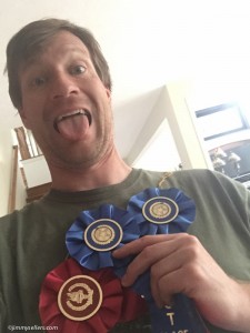
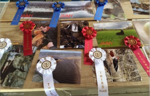
The luckiest boy in the world strikes again. Last weekend I won a hot air balloon ride at a 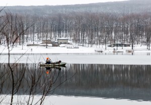 charity event. Fresh off that victory, yesterday was the picnic to celebrate the end of CAM 2015, cache across Maryland. Like the last few years it was more fun than should be legally allowed. Driving hundreds of miles over 4 days just to walk in the woods, make fun of my friends, hang out with Charlie the Dog, and write my name on hidden pieces of paper. There is a photo contest each year at the picnic. Last year I did fairly well in the photo contest, even came in first in a category. I decided
 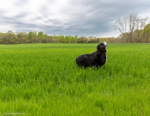 that was my cue to go pro, and upgrade my equipment. Yesterday I took 1st in two categories, and 2nd in a third category. I could not believe it. What a fun thing to have happen to me. Fun things rarely happen to me…sike. That makes me an award-winning photographer 2 years in row. That is definitely making it to my resume. If you are reading this (doubtful) I am available for hire.
Maybe my new favorite picture
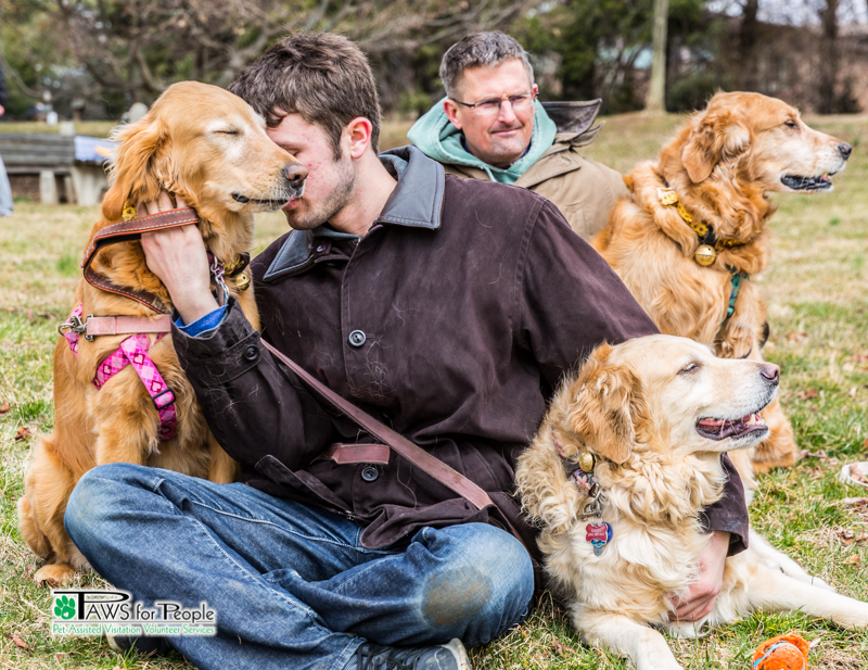
This might be my new favorite picture I have ever taken. This past weekend was the PAWS for People Easter Bone Hunt. It was so much fun. Charlie the Dog, my family, and everyone’s family had a blast. I was the roving photographer, HERE are some of the pictures I took. Warning, these will only be interesting if you like dogs.
Cache Across Maryland time of year again
Yesterday was the kick-off day for the 2015 Cache Across Maryland adventure. I set out with my best geocaching buddies, Charlie the Dog, Josh, and Cinnamon. We had a whirlwind 16 hour day, a short day for us. HERE are some pictures from Western Maryland and day 1 of our CAM 2015 adventure.
I am calling PETA
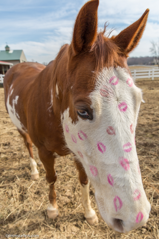
I was subject to this torture over the weekend. I spoke out as much as I could, but was unable to save the dignity of our horses. A full gallery HERE if you are mean and want to promote horse abuse in the name of Saint Valentine’s Day.
Final camping weekend in Shenandoah Park
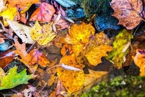 A few weekends ago I went down for an overnight in Shenandoah National Park. It was the last weekend that the park was open for camping. Unfortunately I had to go down without my best hiking buddy, he’s still not doing great, definitely not up for mountain scaling. I wanted to try and get down for some of the leaf peeping. I think I was about a week too late for optimal photographic beauty. I still had a great time, went on 2 amazing hikes, first thing at sunrise and another shortly before sunset. In the morning I stumbled upon a place called Rapidan Camp. I
 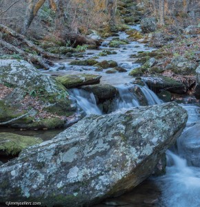 knew nothing about it or that I was even going to end up there. Turns out this was the home of President Hoover. I was there first thing in the morning, nobody else around. There is a small museum there and the presidents actual home is still there by tour only. A nice older couple came walking out to greet me and asked if I wanted a tour of the presidents house. It wasn’t on my agenda of things to do that day, I don’t find presidents interesting in the slightest, but how could I turn down a private tour. It ended up being a very interesting and informative hour. I never would have imagined enjoying that time so much. I have never had a favorite president before, but I do now, President Hoover seemed pretty great. Anyone that would live in Shenandoah must be OK.
I did not take too many pictures and unfortunately did not get anything that I am crazy about. HERE are a few of the better ones: http://jimmysellers.com/pictures/index.php?/category/23
Yosemite 2014 – Getting lost in the woods – Glen Aulin & Pacific Crest Trail
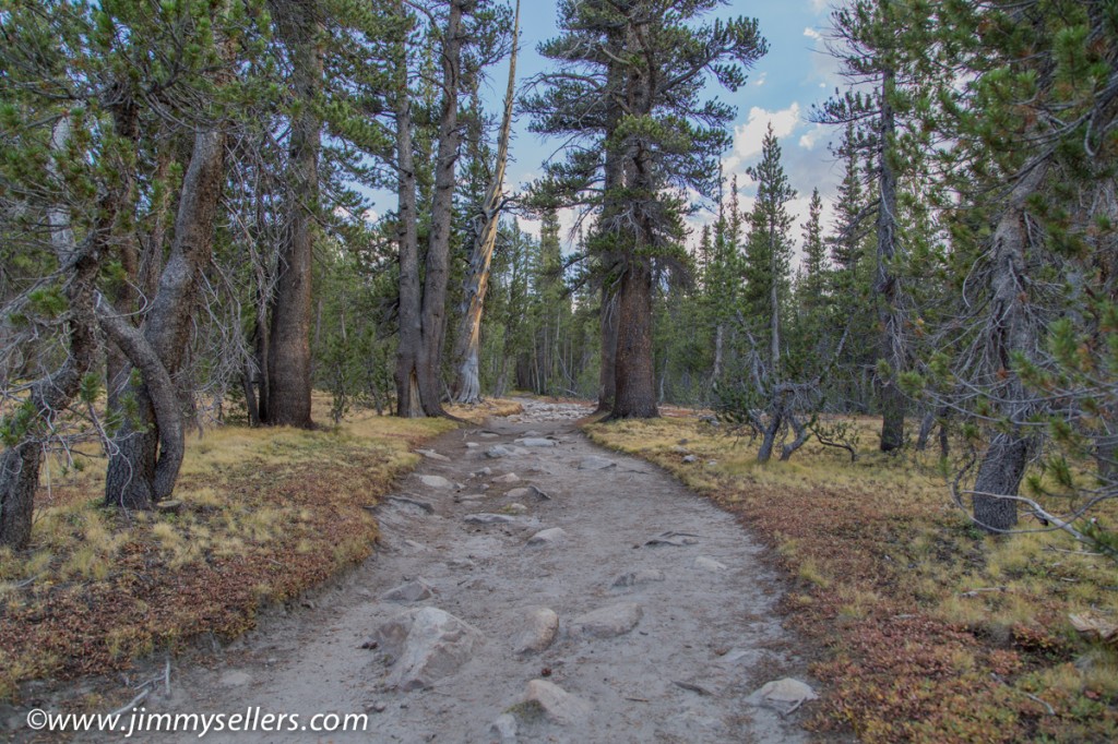
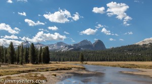 The final hike of the trip was a doozie. It had everything you might want in an adventure. Action, suspense, drama, cowboys, people getting lost, and waterfalls. The journey for the final day was mostly a circle starting from our tents, heading to the high country camp Glen Aulin, and then back down to civilization and Tioga Road. We started early and picked up the Pacific Crest Trail not far from our campsite. The PCT is the west coast equivalent of the Appalachian Trail on the east coast. It is a footpath through the wilderness that runs from Mexico to Canada. It has been my life long dream to set foot on the PCT since I first heard about it 2 months ago. Imagine how excited Josh and I were when we saw Pacific Crest Trail on the Yosemite map of the high country. It didn’t matter where that trail was, once we saw it, we were going to walk on it. The walk up to Glen Aulin was beautiful, mostly along a river with sporadic waterfalls. The only downfall was the time when Josh and Matt lost me. We were all together one minute, and then separated for the next hour or two. I was never worried, I had a GPS machine, and they had the power of numbers, although one of those numbers was Josh. I realized there was a problem when I ran into a cowboy, yes a real life cowboy, riding a horse, wearing chaps and a duster, carrying a gun, and leading a large line of donkeys. I asked the cowboy if he saw 2 other hikers the way he came from. He said no, I said no problem I’d meet them at Glen Aulin. He told me Glen Aulin was behind me. I wanted to argue because I’m so smart, but he was a cowboy with a gun. I turned around and starting running in the other direction hoping to catch the other guys as quickly as possible. Running might be overstating the forward movements I was making, but I tried. I went about 2 miles out of the way, which does not sound like a lot of distance, but it is a lot at that elevation, incline, and running as fast as possible. I finally met them just as they were getting to Glen Aulin. They were planning to wait for me there if the need arose. I think I pissed one or both of them off, I apologized and explained what happened. It was an honest mistake, even a sweet boy like me, with my own GPS machine could get turned around and go the wrong way in the woods.
From Glen Aulin it was mostly down hill and back to Tioga Road. This was not a full loop, we got picked up by Dan and Drew at a parking area near the trailhead. I really wanted to hitchhike back the 10+ miles, but nobody else was into that idea. I hang out with unadventurous bums. The last of Yosemite 2014 pictures can be found HERE. Also a “Best Of” pictures page is HERE. Thanks for reading.
Yosemite 2014 – Elizabeth Lake and Tuolumne Meadows
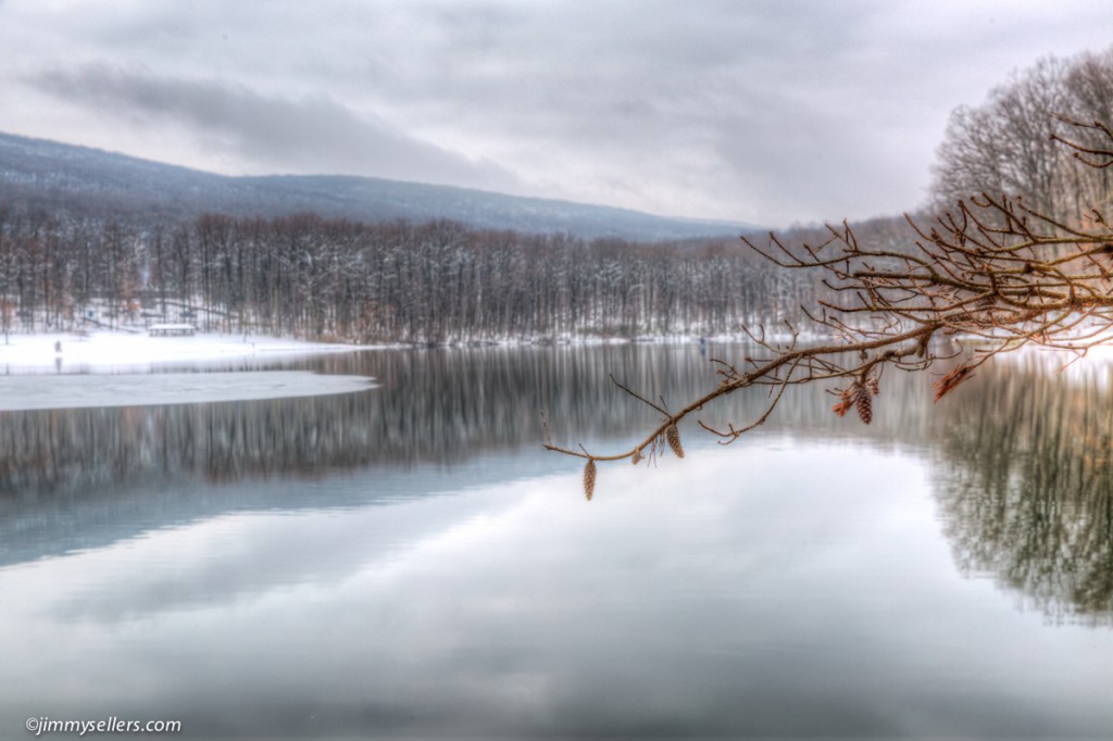
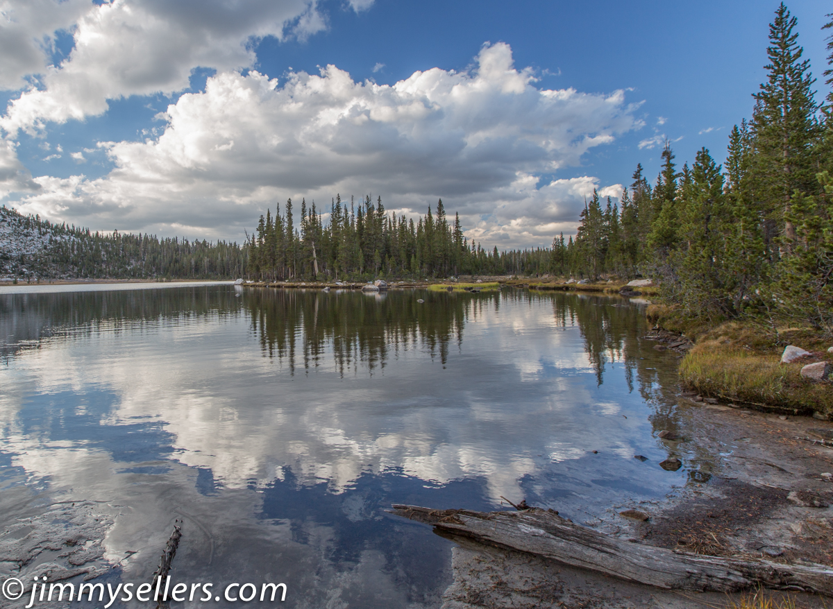
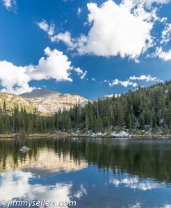 We made our move of camps from the Yosemite Valley to the high country and Tuolumne Meadows. Once there and camp was set up we immediately set out for a hike straight up in the air to Elizabeth Lake. We hiked across the 9000 foot elevation point to about 9500 feet. Once at the lake we circled the entire lake and took some time to scamper up and across some rock formations. I believe this particular hike, in conjunction with the time of day and weather conditions made for the best photo opportunities of the trip. You know the conditions are great to take pictures when even a life long seasoned professional photographer like Matt was super excited to take pictures. A place he has probably shot several times before, and I could see his boyhood excitement. The mirrored effects of the mountains, sky, and clouds off the water were spectacular. It was the most fortunate of timing for us. The entire hike was great, the weather cooled down nicely because of the elevation and late afternoon. We made it back down to camp just around sunset. Perfect time to put on warmer clothes, eat some food out of a bag, and bundle up for sleeping in the cold. I fooled around with some of the pictures. Some I made the way I saw them with my eyes, and a few I made with some fun effects that I like. Some pictures HERE.
Yosemite 2014 – Camp change & Olmsted Point
After a few nights sleeping outside in the Yosemite Valley, it was time to move camp to the high country. We packed up camp and started driving to Tuolumne Meadows. As the crow flies it is only about 20 miles, probably less. But it takes 3-4 hours to drive there. The elevation climb is several thousand feet and the drive is across the beautiful ridge of Tioga Road. We came up to the high country of Yosemite last year, but only for a day trip. This year we were going to sleep outside, under the stars for a few nights, and wake up in the most beautiful part of the park. As Bob Hrabek the park ranger said to us as we entered, “Welcome to Paradise”. He wasn’t kidding. Ranger Bob then proceeded to hook us up 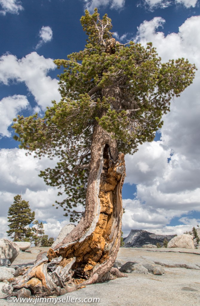 with what must have been the best campsite on the grounds. We were nestled in the trees and backed right up to the trail that lead to everywhere you could possibly want to wander. A giant change from down in the valley. The climate changed too, once the sun was gone it was freezing. Perfect for sleeping outside.
On the drive up to our new home we stopped at Olmsted Point. Another place we stopped last year, but completely different this time. The weather and skies were very cooperative for photography. The skies were deep blue with cotton ball clouds. I was able to capture a picture of a tree I loved last year, but couldn’t do much with it on camera because of a dull sky. We marched out to the Point for another view of Half Dome, and then continued to our new home in Tuolumne Meadows. Once there we set up camp and went for a hike straight from our tents to Lake Elizabeth. It was an elevation change of over 1000 feet, maxing around 9500 feet. Elizabeth Lake is were the most amazing photo experiences happened, while we were there everything changed to make for the perfect conditions. I hope I was able to capture something. I will find time to get to those photos next. For now I was able to get through a few more photos, Olmsted Point and our hike toward Elizabeth Lake. Those pictures are HERE.
