Saturday March 24, 2012
Today I only had a couple hundred miles to drive to get where I wanted to be. Thanks to the Global Positioning System it took quite a bit longer than expected. It suggested 2 routes, one was all major roads and longer, the other was all mountain roads and shorter in distance. I was in no hurry and had plenty of time, so I decided (like always) to take the adventurous route. I got close to my destination, within 40 miles. Then the shortest route was up the wrong side of the mountain I wanted to get to the top of. The bottom line is that I hit 2 complete dead ends and one private property/no trespassing area where I would have certainly been shot on site. I would like to give GPS the benefit of the doubt and say that maybe I could have passed through one of these routes during the summer. To this I say nay, these were dead ends, not even Superior Cutoff Road conditions. I had plenty of gas to get to the town I was going, until all the unplanned traveling. I decided to backtrack to the last major town, get gas, and ask for directions. Getting back proved difficult as I was so completely lost and the GPS seemed to only be taking me deeper into rape and murder land. I finally saw civilization and cruised into a gas station on fumes, got directions, and made it here effortlessly.
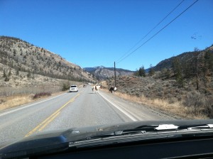
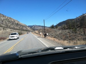
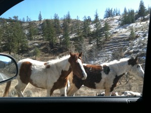
The drive was breathtaking. It was entirely traverses along mountainsides with giant cliffs and/or lakes on the other side. I had to yield to wildlife a couple times, including one place for wild horsies, sans winter blankets. A few more horsie pics in the pictures section.
I am in Sun Peaks, British Columbia. Seems like a very small, cute town. From the little I saw before the sunset it looks a lot like I would picture an old European mountain village to look like. I can’t wait to see it tomorrow in the daytime.


